How to Read a Topographic Map (Ultimate Beginner’s Guide)
Maps are crucial for any outdoorsman. Whether you’re hiking through the mountains going after your next big elk, or finding the perfect overhang to camp on in the desert, a map is often your lifeline in such situations.
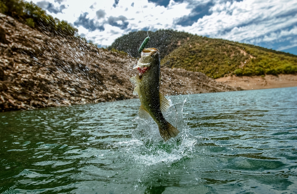
For beginner anglers, maps tend to have minimal use. They serve as simple tools to figure out where boat ramps and bathrooms are or to navigate the roadways to reach the fishing hole in the first place, and that's where many stop.
However, like most other outdoorsmen, experienced anglers know that the right maps can be crucial parts of success. Sure, unless you’re fishing remotely, you’re likely not far from society and are at minimal risk of getting truly lost, but a good map can enhance your fishing capabilities dramatically. At least, if you know how to use it, that is.
Today, we’re going to teach you how to read a topographic map, along with some key points that should convince you to start implementing them into your fishing strategy.
Once you know how to use these underappreciated maps, you’ll open up a whole new level of possibilities with your fishing addiction.
Let’s get started.
What is a Topographic Map?
A topographical map is a little different than the maps you’re probably used to reading. Your standard map shows a flat representation of the Earth. You can’t see things such as elevation and how the Earth shifts and changes. In most situations, that’s not a problem.
You don’t need to know that the road you're driving on goes up an incline when you’re trying to make your way to your vacation destination.
However, the differences in elevation are crucial when you’re navigating for the reasons an outdoorsman does. You can get a clearer picture of the terrain you’ll be traveling on, locate optimal spots to do whatever you’re doing, which we’ll talk about more regarding fishing shortly, and you can avoid a lot of problems that can unfortunately occur in an outdoor environment.
A topographical map allows that. It’s obviously still a flat map, but through the clever use of contour lines and size scales, it allows you to see an accurate depiction of elevation, how sheer an elevated surface’s slope is, divots in the landscape, and more that you simply can’t see on a standard map.
How Does a Topographical Map Help Anglers?
It might not seem like it at first, but a topographical map can greatly help anglers.
First, it can help you get to where you need to be just like any other map. Reading pathways and roads is just like reading a normal roadmap. Some topographical maps aren’t as detailed when it comes to road signs and similar markers, but the general layout of roads and paths is the same.
So, you can use it to navigate to boat ramps, specific parts of the lake you want to fish at or launch your boat from, and more.
Then, the map helps you identify spots that might be beneficial or difficult for you such as streams at higher elevations that are less likely to be pressured like the banks near the roadways or primary fishing holes.
You might even learn how to avoid a spot that looks great on a normal map, but when looking at a topographic map, you can see sheer inclines up steep cliffs that make the spot too risky or annoying to reach.
Finally, and most relevant specifically to anglers, you can identify features of the waterways. On a normal map, water is just a bunch of solid blue blobs and lines. You can tell the general shape of the water and where it is, but you can’t tell when it’s running down a hill, flowing over steppes, forming tributaries, or running out of a lake to meet up with larger rivers.
This accurate depiction of a waterway’s features means that you can better identify new spots that produce dramatic advantages over what’s available to other anglers.
Knowing where steppes are in the water is a great way to catch fish that are swimming downstream to get to other portions of a body of water.
Identifying drops in the landscape can help you find the depths where many of the bigger fish lurk, and with a bit of knowledge of how fisheries work, you can accurately determine where the best fishing will be.
None of this information is available on standard roadmaps, and while you should have standard maps around to locate boat ramps and similar features, you can’t ignore the benefits topographic maps offer.
How to Read Topographic Maps
Topographic maps look extremely complicated when you first look at them. They look like nonsensical swirls with dots and markers occasionally spread throughout them, and in general, they resemble the doodles you did during the last class of your average high school day.
This is probably why a lot of anglers just check a road map, figure out where the key points are, and figure out the rest when they get to the lake.
However, topographic maps are extremely easy to read, and you should be able to master them within 15 minutes of trying.
If you don’t believe us, grab a topographical map, or load one up online, and try to read it with one of the following four methods. Everything will start to make a lot more sense right off the bat.
1: Read the Indexed Contour Lines
First, you need to learn to read the indexed contour lines. The rest of what we talk about here will be about these lines. So, mastering reading these is crucial.
Look at one elevated land feature on the map, such as a mountain, and find the thickest line with a number somewhere around its diameter. That’s an index line. You’ll see many thinner lines circling around and between indexed contour lines, but you can ignore those for now.
This shows the elevation of that point on a landmass. The number associated with an indexed contour line is the height above sea level in feet.
For example, let’s say you’re looking at a mountain on your map, and the first indexed contour line is somewhere near the base of the mountain with the number “500” marked on it. Above and below that line are thinner contour lines and dotted lines.
If you hiked up the mountain and reached that point, you would be 500 feet above sea level. At the next indexed contour line, let’s say that it is marked "1000", you would be 1000 feet above sea level.
Again, the rest of the contour lines we’ll talk about are based on these. So, get used to seeing them and understanding how they describe the elevation of a land feature.
2: Reading Normal Contour Lines
The thinner lines that wrap around the indexed contour lines are the next bits of information you need to learn to read.
First, each line wrapping around our example “mountain”, will be an incremental increase in elevation. However, they’re not labeled like the indexed lines are. Just know as the circumference of the deformed circle gets smaller, the higher up you get, and the closer to the peak you will be.
The next bit of information you’ll want to look for is how jagged the contour lines are. Contour lines depict routes up or down the change in elevation by cross-sectioning the feature. If the lines are very jagged, that portion will consist of very sporadic slopes. Think of a roller coaster that climbs up a steep hill, immediately drops off, and then quickly transitions back into a steep climb.
If the lines are more rounded, they’re gentle slopes that are easy to navigate.
3: Dotted Lines
Dotted lines indicate long stretches of flat land. Now, you won’t see every flat surface in the area. If a slope flattens out for twenty feet, the map designer isn’t going to shift to a dotted line. It will still be counted as part of the slope. Dotted lines depict larger flat areas such as valleys, roadways, and more.
4: Reading the Spaces
Even the empty space on a topographical map is crucial information. Primarily, the space between contour lines is important.
While the normal contour lines show what that section of an elevated land feature is like in terms of terrain, they don’t show what the slope is like between elevations.
For example, the normal contour lines we discussed earlier might be jagged and depict steep slopes, but all the slopes on one line are at the same elevation.
This is not relevant to how steep the incline is from one elevation to the next. A contour line might depict gentle slopes, but the slope between each elevation might be a sheer cliff you have no possibility of climbing.
You get that information by reading the spaces between contour lines.
The closer the contour lines are to each other, the steeper the incline is. If there is a lot of space between contour lines, the increase in elevation is gentle and gradual.
Reading Waterways Along with Topographical Features
Most basic topographical maps don’t have detailed water features covered, but you can develop a firm understanding of what a body of water will be like if you understand the way water works and combine that with the information given to you by the topographic map.
For example, if you see a thin blue body of water stretching down our example mountain with many contour lines close together before that stream of blue expands into a blob at the base, you can tell that it’s a mountain stream coming down a steep cliff side before pooling into a pond or lake at the bottom.
From there, you can make decisions about how you want to fish that body of water, where the best fishing spots might be along that stream and pool, what you’ll need to reach your preferred spot, and more.
This gets a lot more complicated, as well. If you know the elevation and steepness of the land the water runs through, you can get a mental picture of the water in almost any situation, and all you need to know beyond that is how water works. It flows south in nearly every single instance, it only flows downhill, and it conforms to the space it is within.
Fish behaviors get rather complex, but in general, when talking about moving water, they swim with the current and frequently look for coves and similar places to rest, find food, and spawn.
However, there are newer types of topographical maps that take waterway information to the next level. Depth maps, often used by boaters and sailors, are very similar to topographic maps, but they measure the depth of the water in an area as well.
While not extremely common, these depth map features are working their way into angler-friendly topographic maps more and more often.
If you can find one, which we’ll talk about shortly, you’ll get a much more complete visualization of what a body of water is like than you would with a road map or just a regular topography map.
Staying Oriented
For one last tidbit of information before wrapping this up, there are a couple of things you need to consider. If you’re reading a physical topographic map, you’ll need to keep yourself oriented the old-fashioned way. With digital maps, you usually get plenty of easy-to-use tools that you can use, and some even automatically do it.
Luckily, it’s pretty easy. You’ll either need a compass, or you’ll have to know which direction you’re facing some other way. Road markers are helpful for this unless you’re fishing extremely remotely.
The map will be marked with a compass rose, and you can use your compass to orient yourself in the northern direction. The rest all comes down to identifying landmarks.
On a digital map, GPS is usually used to rotate the map to your phone’s orientation.
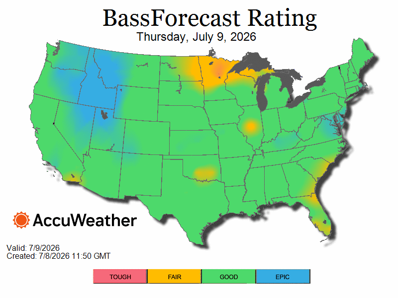
Get the BassForecast Fishing App
Now that you learned how to read a topographic map, exciting fishing adventures await.
And what is a better way of supplementing a fishing adventure than downloading America’s favorite fishing companion - The BassForecast fishing app.
BassForecast fishing app is proven to increase catch rates by 68% to 305% over time, tracks real-time weather and applies bass industry research and proven seasonal patterns to surface-adapted forecast conditions, ratings, and tips. It is also equipped with the world’s most accurate location-specific spot-on solunar.
Get the BassForecast fishing app today!


-1739275914.jpg)
.jpg)
.jpg)
.png)